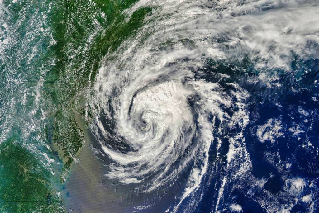

Meteorologists are monitoring a tropical disturbance over northeastern Mexico and South Texas. The National Hurricane Center (NHC) states that the disturbance has a 60% chance of developing into a tropical cyclone over the next few days.
Tropical storm development
Though the development is not expected to become a tropical storm while inland, there is a chance that it re-emerges over the northwestern Gulf late Tuesday or Wednesday and possibly strengthen into a a tropical storm between Wednesday and Thursday. If it does escalate into a tropical storm, it would be known as Tropical Storm Arthur.
Presently, the NHC speculates there is a 60% chance of cyclone formation over the next two days. The probability of cyclone formation developing over the next week NHC puts at 50%.
At the time of this article, the agency has not issued a Tropical Storm Watch/Warning. That said, Houston and Galveston areas will likely experience heavy rainfall and flooding. There is a present Flood Watch in effect in the Greater Houston Area in place through Thursday morning.
The NHC and local forecasters that storms could bring periods of intense rainfall over the next few days to South Texas with widespread flash flooding, river flooding, and marginal-to-moderate risk of localized flooding.
What to expect for Houston/Galveston
Forecasters expect frequent, heavy rain showers and thunderstorms in Houston and Galveston areas as well as localized flash flooding, and potential river rises.
Scattered power outages are possible but not expected.
If the disturbance escalates into a brief tropical storm, the areas could see wind impacts of gusts up to 30 mph. As such, the wind severity is not expected to cause widespread structural damage.
Residents are encouraged to monitor official forecasts via NHC, National Weather Service, or local providers for updates.
“Regardless of tropical cyclone formation, interests across southern and eastern Texas, southern portions of Louisiana and Mississippi should prepare for periods of intense rainfall over the next several days, which could produce widespread, life-threatening flash, urban, and river flooding.”
While the tropical disturbance has a 50% chance of becoming a tropical cyclone over the next week, the primary threat to Houston/Galveston areas is heavy rain and possible flooding – rather than a major wind or surge event.